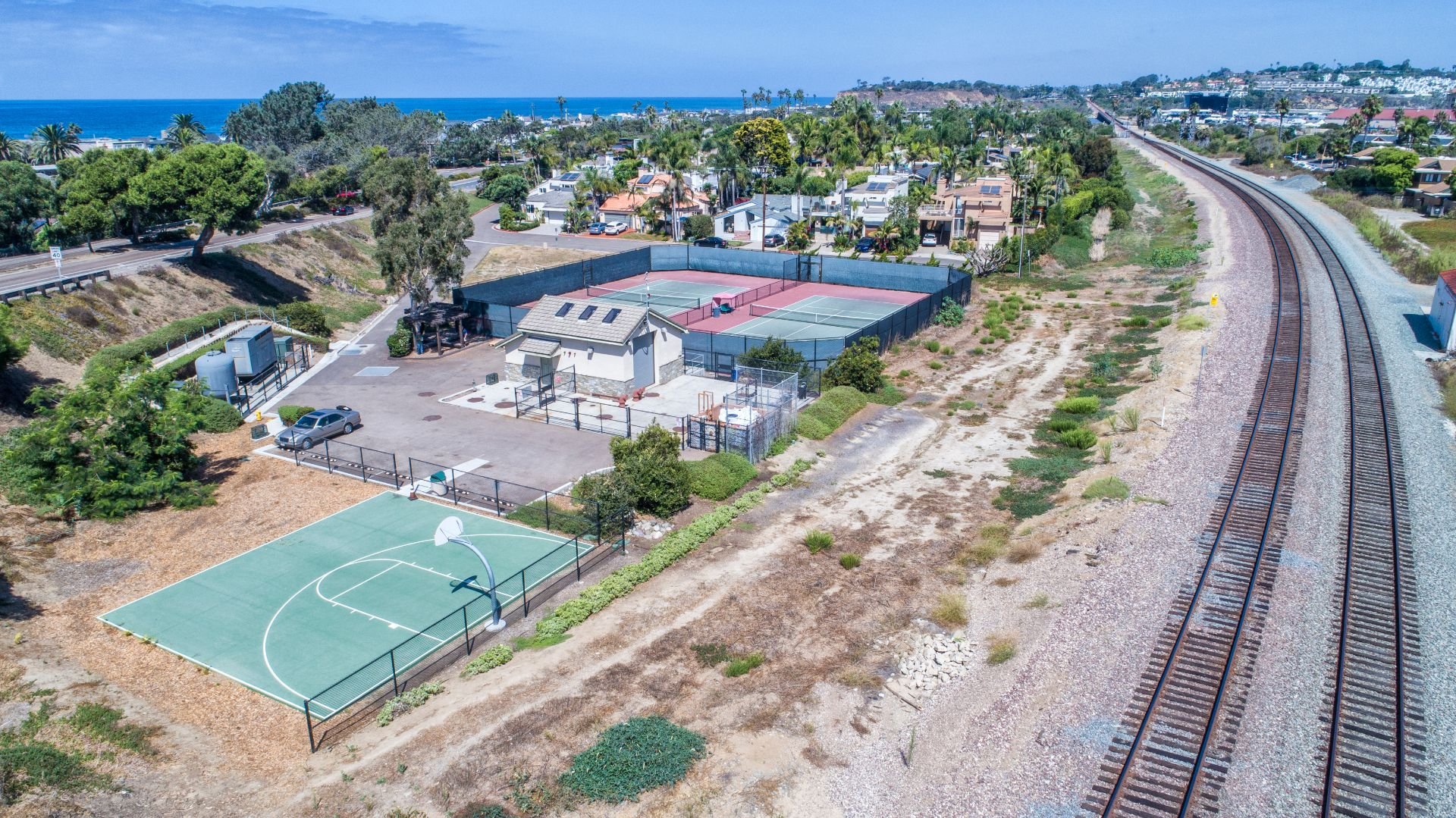
Court Street Park
Two tennis courts and a half-court basketball court operate on a first-come, first-served basis. No fee. No other sports or wheeled vehicles are permitted. No private lessons are permitted without prior written authorization from the City.

Crest Rim Preserve
Various California native plant species line the path, with wooden and stone bench seating overlooking Crest Canyon to the east.

Del Mar Canyon Preserve
Preserved landscape near several short paths on the bluff, just south, offers views of La Jolla, Torrey Pines State Beach, and the ocean.

North Beach (Dog Beach)
Affectionately called “Dog Beach” by locals, this beach is located north of 29th Street and stretches nearly one-half mile.

North/Scripps Bluff Preserve
Savor the sunset and 360-degree views of the coast and inland lagoons at this lesser-known preserve perched above Dog Beach.

Powerhouse & Seagrove
Two coastal parks just above the 15th-17th Street surf break provide a great spot to picnic with friends and family.

San Dieguito Lagoon
The path runs alongside the San Dieguito River and restored wetlands – the western end of the Coast to Crest Trail.

Shores Park
This 5.3-acre park includes an off-leash dog park, baseball field, and basketball hoops.

Torrey Pines State Beach
Three miles of beautiful beach, accessible from above via two hiking trails, one in the State Park and another beginning at the Glider Port.

Torrey Pines State Reserve
More than 2,000 acres of wild coastline with unspoiled beaches, hiking trails, and the nation’s rarest pine tree, Pinus torreyana.

Tot Lot Playground
A partially shaded park and playground for the little ones with swings, slides, and a sandbox.